Fieldmark Maps
Colorado Public Hunting Lands Map (2026 Edition)
Colorado Public Hunting Lands Map (2026 Edition)
Couldn't load pickup availability
Free U.S. Shipping
Damaged in transit? We'll replace it free
Colorado Public Lands Map
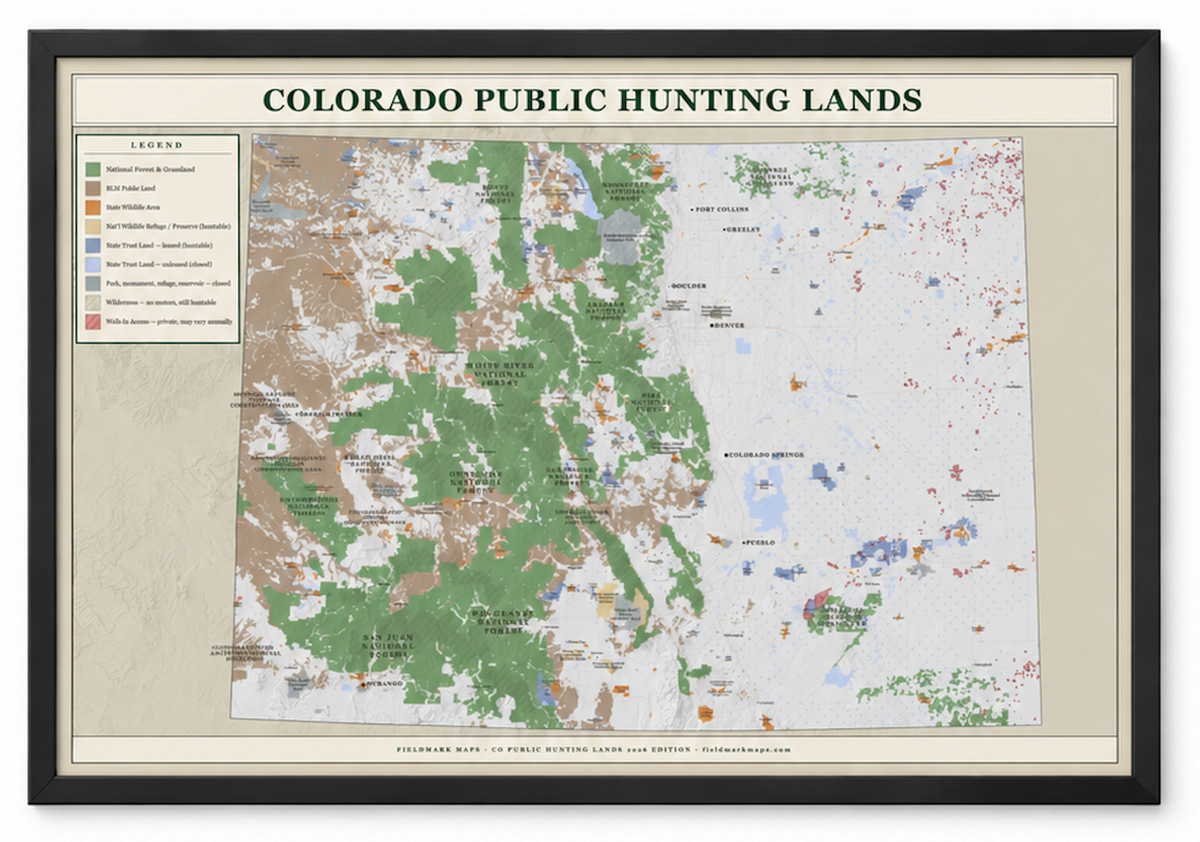
A large-format wall map of Colorado’s public lands, made for hunters and anglers.
20×30 or 24×36 -- Framed or unframed -- Free U.S. shipping
Hundreds of Colorado's public-land boundaries, rivers, lakes, roads, towns and landmarks, designed into a map detailed enough to explore and beautiful enough to hang.
What’s on the map
- Federal and state public lands
- National forests and other major public-land areas
- Rivers, lakes, and major geographic features
- Roads, towns, and reference points for orientation
- Detailed cartography designed for trip planning and wall display
Choose your size
30 × 20 inches
A versatile size for offices, bedrooms, gear rooms, and smaller walls.
36 × 24 inches
Our larger format, with more visual impact and added room to appreciate the map’s detail.
Choose your finish
Unframed
Printed on premium matte paper for a clean, low-glare finish.
Framed (Black or Red Oak)
Arrives ready to hang in your choice of black or red oak frame.
Made to be used
Fieldmark maps are designed for people who actually spend time outdoors. Use it to study new areas, remember favorite places, plan future trips, or simply keep a piece of Colorado on the wall.
Printing & fulfillment
- Made to order
- Free shipping
- Typically arrives in 5-10 business days
- Premium matte paper & crisp, high-resolution printing
Share